The Office of Emergency Management & Planning encourages each student, faculty, and staff member to read the hurricane preparedness information on the National Weather Service in Raleigh website. The key to effective preparedness is knowing your local risks, developing a plan of action, and having a means of staying informed. Take advantage of our campus safety resources, registering for Alert Carolina, downloading the LiveSafe mobile app, and following the general safety tips, all accessible on our CarolinaSafe website.
The time to prepare is now!
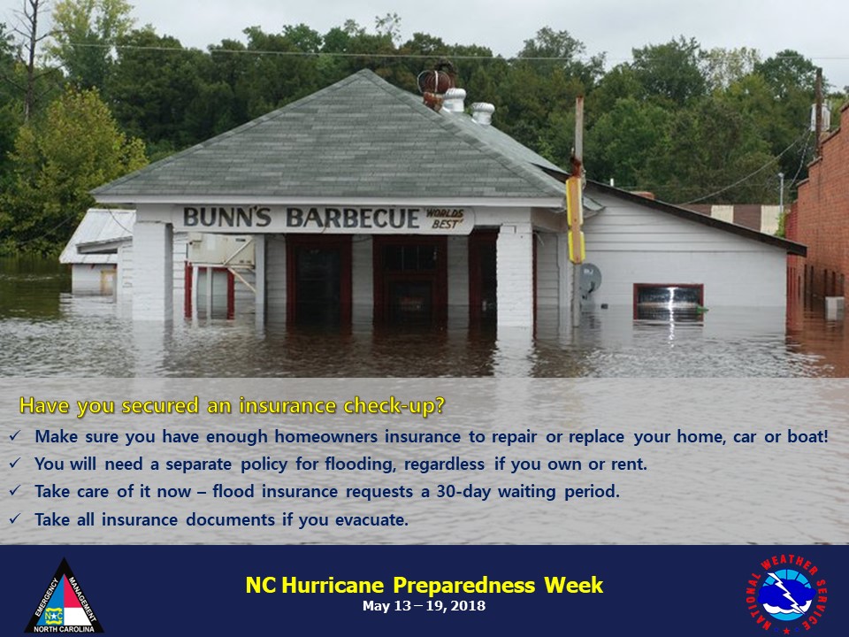
All week long the National Weather Service will issue informative messages to help you prepare for the hurricane season. Today’s topics include high winds and securing an insurance check-up.
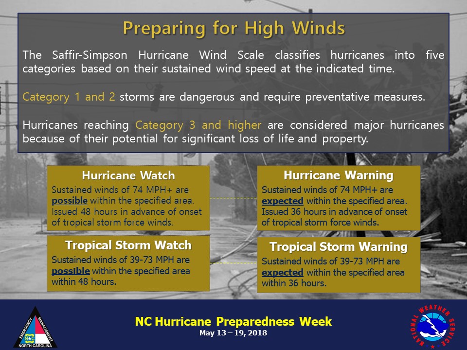
It is important that you know your hurricane warning terminology – the difference between watches and warning:
- Hurricane Warning: An announcement that sustained winds of 74 mph or higher are expected somewhere within the specified area in association with a tropical, subtropical, or post-tropical cyclone. Because hurricane preparedness activities become difficult once winds reach tropical storm force, the warning is issued 36 hours in advance of the anticipated onset of tropical-storm-force winds. The warning can remain in effect when dangerously high water or a combination of dangerously high water and waves continue, even though winds may be less than hurricane force.
- Hurricane Watch: An announcement that sustained winds of 74 mph or higher are possible somewhere within the specified area in association with a tropical, subtropical, or post-tropical cyclone. Because hurricane preparedness activities become difficult once winds reach tropical storm force, the watch is issued 48 hours in advance of the anticipated onset of tropical-storm-force winds.
- Tropical Storm Warning: An announcement that sustained winds of 39 to 73 mph are expected somewhere within the specified area within 36 hours in association with a tropical, subtropical, or post-tropical cyclone.
- Tropical Storm Watch: An announcement that sustained winds of 39 to 73 mph are possible somewhere within the specified area within 48 hours in association with a tropical, subtropical, or post-tropical cyclone.
Keep in mind that even tropical storm force winds of less than 74 mph are capable of tossing around debris and causing damage similar to that seen in inland areas during Hurricane Fran especially in the Raleigh area. For this reason, you should seek shelter from the wind in a sturdy building as the hurricane moves inland and before the onset of tropical storm force winds. Tropical storm force winds usually strike hours ahead of the actual hurricane’s eye. For this reason many emergency officials typically have evacuations completed and personnel sheltered before the onset of tropical storm force winds.
Hurricane force winds can easily destroy poorly constructed buildings and mobile homes. Debris such as signs, roofing material, and items left outside become flying missiles in high wind. Falling trees cause extensive damage to power lines, towers and underground water lines. This can cause extended disruptions of utility services. Damaging hurricane force winds can be just as devastating as tornadoes.
You can protect windows by installing hurricane shutters or prepare 5/8 of an inch plywood panels. Garage doors are also very susceptible to high wind and fail frequently in tropical storms and hurricanes when wind gusts exceed 70 mph. Reinforcing garage doors with affordable braces significantly increase structural integrity.
Things you can do before a storm threatens include assessing your home’s landscaping and assess the threat from falling trees. Trim back any dead limbs as well as large overhanging branches. Pick up all loose objects around the house including lawn furniture, grills, and potted plants. Lastly have a plan of where to seek shelter in your home if high wind threatens you. Talk with your family and let everyone know where your predetermined safe room is in your home. Interior hallways, closets and bathrooms are the safest locations. Always stay away from windows and exterior doors.


