
According to FEMA, flooding is the most frequent and costly of all natural hazards in the United States. It is important to identify areas during the planning process that are most at risk of flooding and take appropriate measures to mitigate the risk. This includes identifying critical assets and infrastructure that may be impacted by flooding and developing contingency plans for their protection and recovery.
Types of Flooding
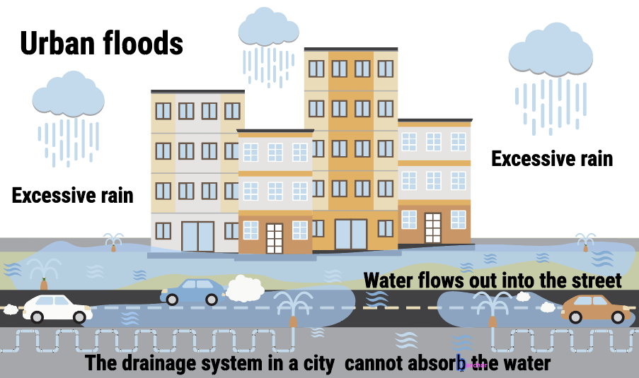
Urban flooding occurs when heavy rainfall and accumulation of runoff overburdens the stormwater drainage system.
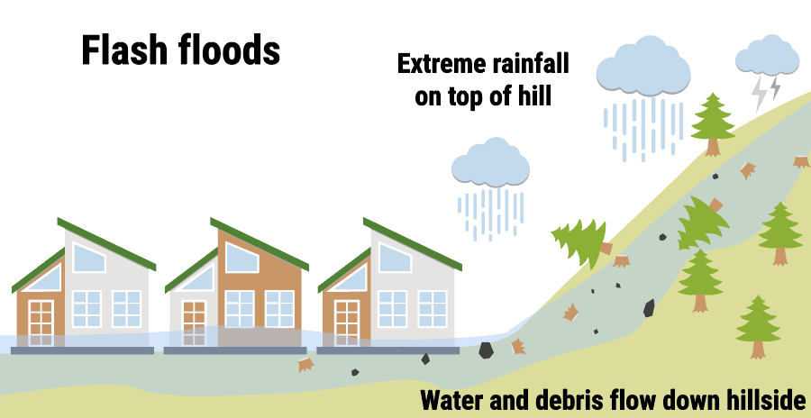
Flash flooding occurs when water levels rise at an extremely fast rate. This is typically a result of rapid rainfall over a brief time period.
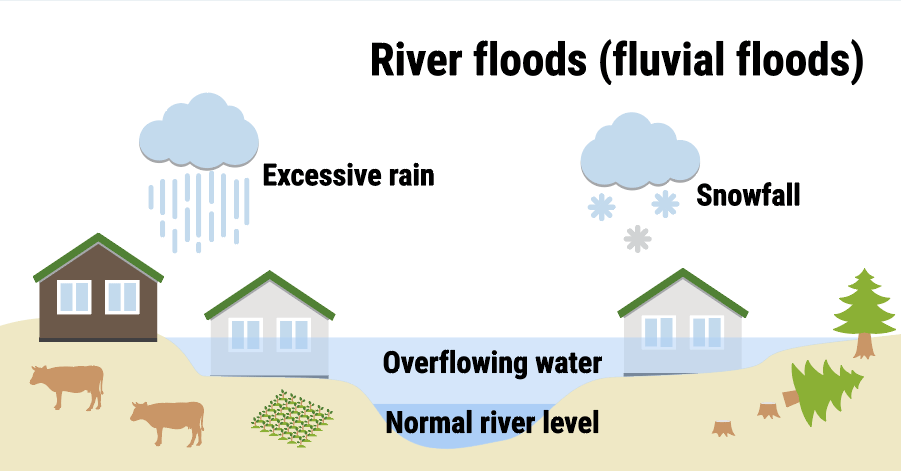
River, or fluvial, flooding occurs when water exceeds the full capacity of the river banks. This is the most common type of flooding and is typically a result of prolonged rainfall.
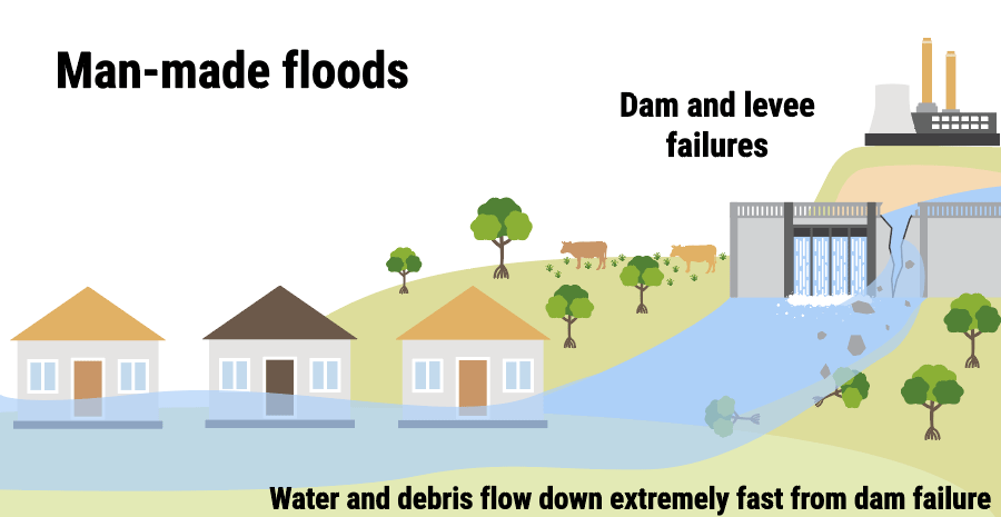
Man-made flooding occurs when water exceeds the capacity of a man-made barrier. This can include dams, sinks and indoor plumbing.
Resources for Plan Managers
 The UNC System Eastern Campuses Regional Hazard Mitigation Plan evaluated potential flooding risks and impacts to the Campus. Historical flooding, proximity to rivers/dams and facility location should all be considered when evaluating your department’s Mission Continuity plan.
 The North Carolina Flood Resiliency Hub is a clearinghouse for the latest research about flooding in North Carolina.